
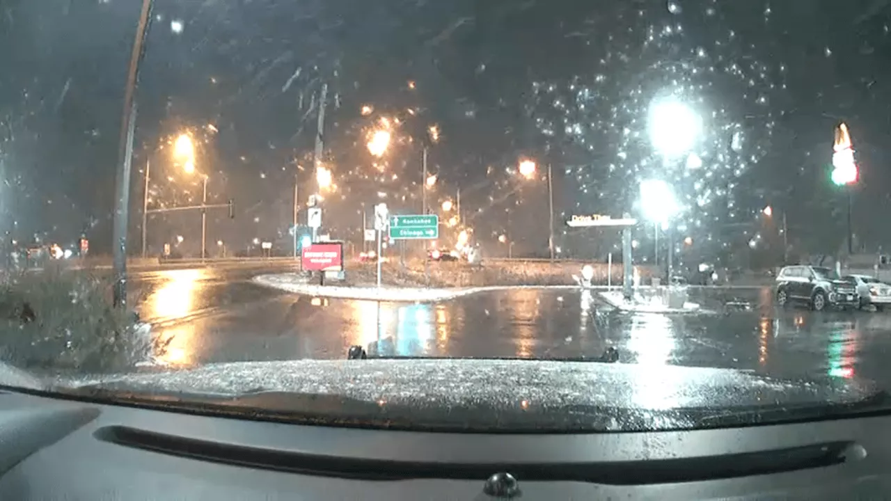
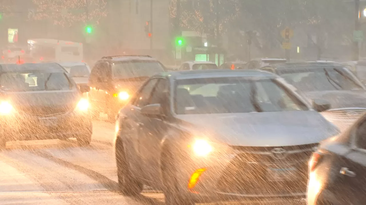
Scattered snow showers are moving into the Chicago area Wednesday morning, with more light snow expected to fall throughout the day. The National Weather Service warns of reduced visibility and accumulating snow on roads, creating potentially slippery travel conditions. Areas north of I-88 are expected to see the most significant impacts.
Scattered snow showers were making their way into the Chicago area Wednesday morning, beginning in the western suburbs. The NBC 5 Storm Team predicted more light snow throughout the day. Snow from Iowa had already started to move into parts of Illinois during the morning commute, according to the National Weather Service. The agency issued a warning about reduced visibility and accumulating snow on roads, potentially creating slippery travel conditions.
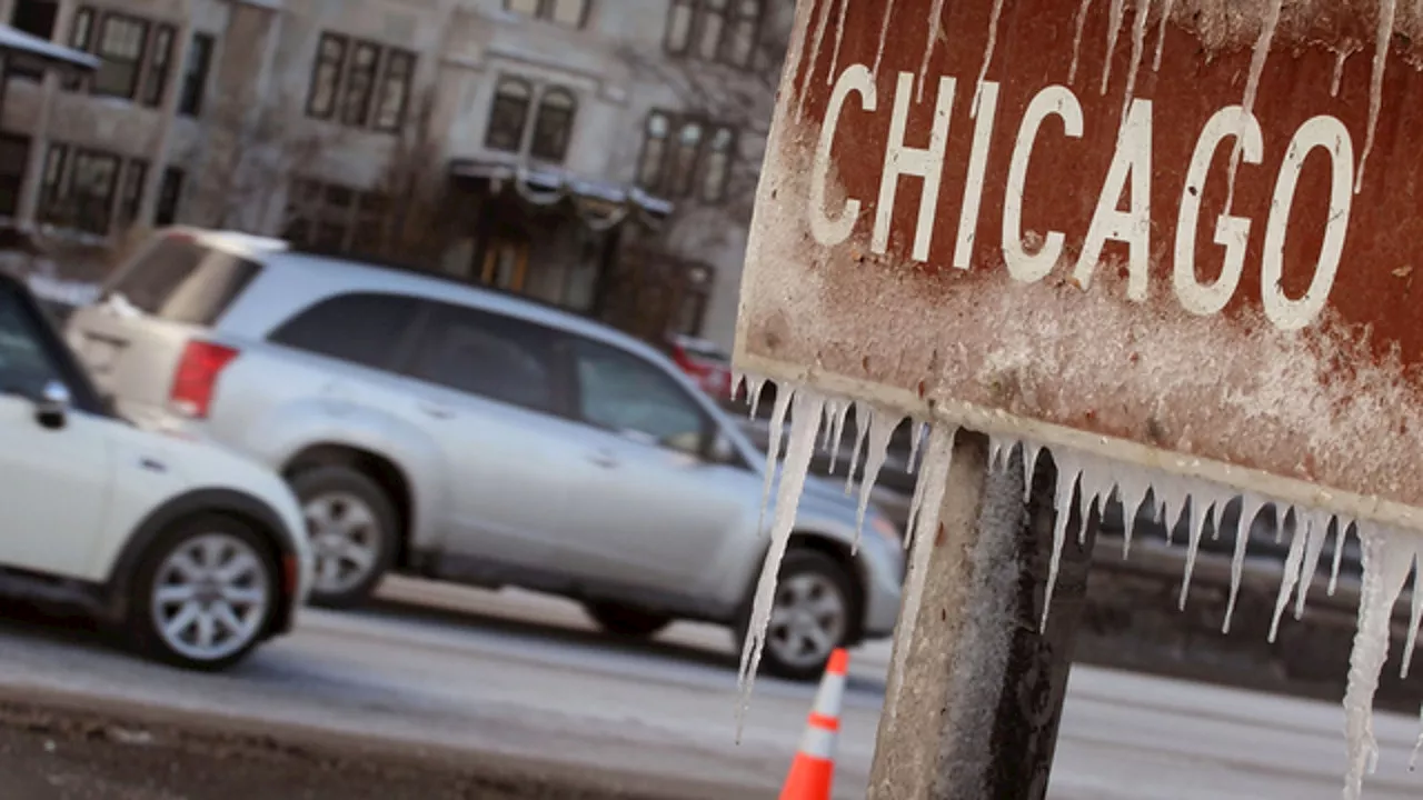
'Give yourself extra time in your commute,' the NWS advised, noting that areas north of I-88 would experience the most significant impacts. Snow in Iowa is moving eastward into Illinois. As it moves in, be prepared for reduced visibilities and accumulating snow on roads, which could lead to slippery travel conditions. If you are traveling in the area on the map (north of I-88), allow yourself extra time for your commute. Snow was expected to continue through the mid-morning hours, the NWS said. There might be a break in the snow during the afternoon, but chances for more snow would return by evening, potentially affecting commutes. Periods of snow are anticipated today through tonight. While the amounts will be light (up to about an inch, with locally higher accumulations north of I-88), very cold ground temperatures will result in slippery travel on untreated roadways. Accumulations of between one and one-and-a-half inches of snow were possible, according to Roman, before the snow gradually came to an end Wednesday night. Although the snow totals might be light, 'very cold ground temperatures will lead to slippery travel on untreated roadways,' the NWS cautioned. The chances for snow increase north of I-80, and particularly I-88 this morning. There might be a lull in the afternoon, but snow chances return tonight. For areas south of I-80, the chances for snow don't increase until this evening and will continue into early Thursday morning. Meanwhile, in the southern part of the U.S., including parts of Louisiana, Mississippi, Alabama, and Florida, winter storms brought as much as 11 inches of snow this week. This year, however, the city of Chicago is tracking well below that threshold, having reported 3.9 inches of snow at O'Hare International Airport. It is also a far cry from the 16.1 inches of snow the city saw in January 2024, according to NWS historical data. If the city maintains its current snowfall levels, it will be the lowest amount of snowfall recorded in January since only 0.6 inches fell during January 2017. For those curious, the snowiest January on record in Chicago occurred in 1918, when the city saw 42.2 inches of accumulation
CHICAGO SNOW WEATHER WARNING TRAVEL NATIONAL WEATHER SERVICE
United States Latest News, United States Headlines
Similar News:You can also read news stories similar to this one that we have collected from other news sources.
 Chicago to See Snow on Wednesday, But Will it Be Enough?The city of Chicago is expecting some snow on Wednesday, but will it be enough to bring the city closer to a typical January in terms of snowfall? The NBC 5 Storm Team predicts flurries Wednesday morning, with snow becoming more widespread in the afternoon and evening. Temperatures are expected to climb steadily throughout the day, reaching the low-to-mid 20s. Snowfall is expected to taper off early Thursday morning, with accumulations ranging from one-half inch to two inches.
Read more »
 Light Snow and Cold Temperatures Expected for New Year's Eve in ChicagoThe NBC 5 Storm Team predicts light rain and snow for New Year's Eve in Chicago, with temperatures dipping below freezing. The precipitation may affect the NHL Winter Classic game at Wrigley Field. Colder temperatures and potential snow are also forecast for the following days, with a significant cold snap expected by midweek.
Read more »
 Light Snow and Colder Temperatures Expected for New Year's Eve in ChicagoLight snow and falling temperatures may impact New Year's Eve celebrations in Chicago. While temperatures will be above normal initially, light precipitation transitioning to snow could affect the NHL Winter Classic game at Wrigley Field. Colder air will follow the precipitation system, bringing temperatures near freezing for the new year, with further snow chances and a cold snap predicted for the following days.
Read more »
 Light Snow Possible Thursday in Chicago AreaA clipper storm system is forecast to bring light snow to the Chicago area on Thursday, with accumulations most likely south of I-80.
Read more »
 Chicago Forecast: Cold Temperatures and Light Snow Expected for Next WeekChicago will experience below-average temperatures for the next several days, with light snow chances on Friday, Sunday, and potentially throughout next week.
Read more »
 Chicago Braces for Another Round of Cold Weather and Light SnowClear skies and light winds have caused temperatures to plummet in Chicago, with areas experiencing snow seeing even colder readings. The forecast predicts sunny to partly cloudy conditions today with highs in the mid to upper 20s. Light snow is expected to move in overnight, impacting the morning commute with accumulations ranging from a half-inch to 2 inches. Temperatures will moderate slightly over the weekend, but another arctic air mass is set to arrive early next week, bringing highs struggling to reach 20 degrees.
Read more »