Thousands of people have been evacuated as wildfires rage on across North America.
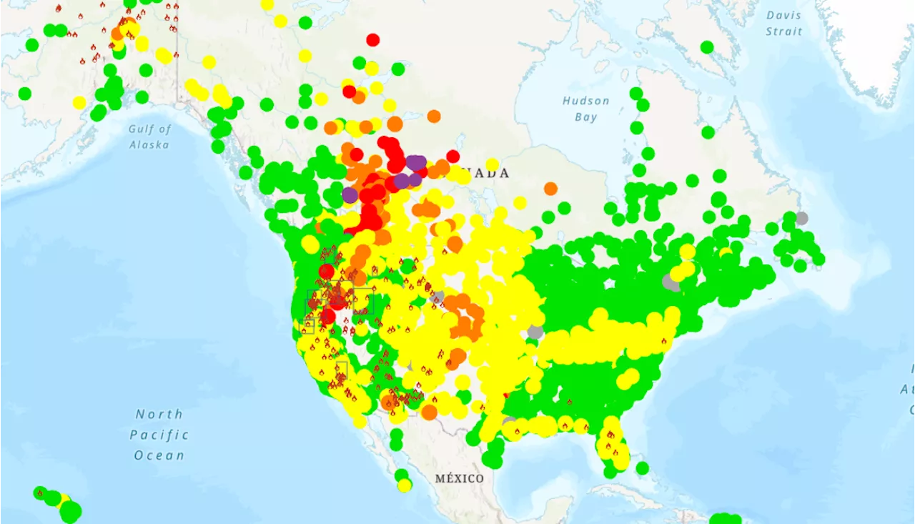
Hazardous air quality alerts have been issued across North America as wildfires continue to rage across the western U.S. and Canada.Smoke from the blazes are expected to spread across the country over the next few days, with the National Weather Service warning of visibility issues and poor air quality across the western part of the United States.
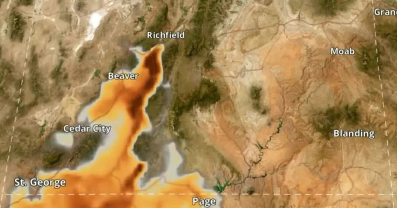
Forest Service, the EPA has combined data from the National Oceanic and Atmospheric Administration , National Interagency Fire Center, and other smoke monitoring and sensing sites, to create a fire smoke map of air quality across North America.The map uses a color-coded air quality index, which is based on the concentrations of PM2.5 and satellite data. At the bottom of the scale, green areas are considered to have 'good' air quality where air pollution poses little or no risk.
United States Latest News, United States Headlines
Similar News:You can also read news stories similar to this one that we have collected from other news sources.
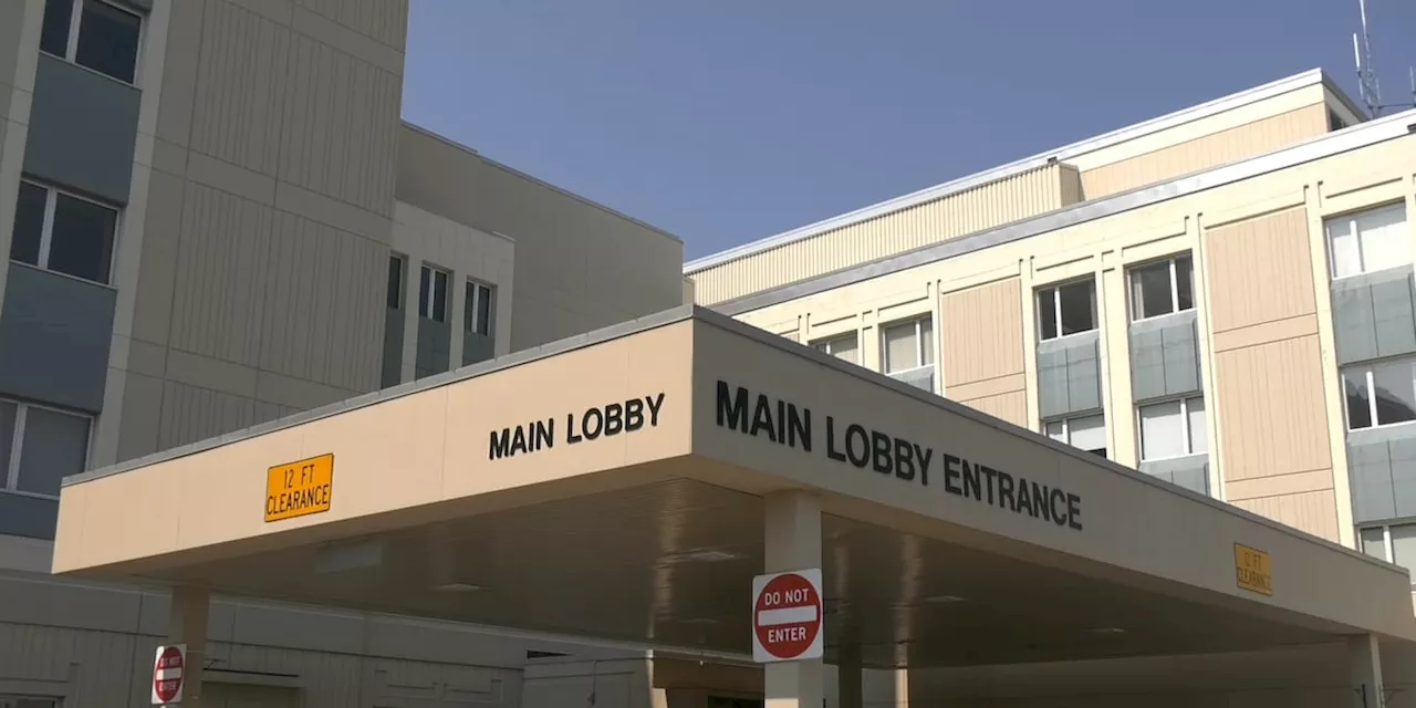 Health Watch: Fairbanks Memorial Hospital opens clean air rooms for those vulnerable to wildfire smokeThe rooms opened at 2:00 p.m. on Tuesday, June 25, and are planned to be available between 9:00 a.m. and 9:00 p.m. through Friday, June 28.
Read more »
 How wildfire smoke, air pollutants can impact health in SE TexasThe U.S. wildfire season is getting longer and fires are getting more intense, exposing us to record-breaking amounts of smoke. ABC13's Briana Conner spoke with an expert about how it could impact our health.
Read more »
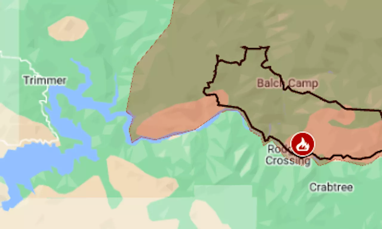 Map: Basin wildfire grows in the Sierra foothills near FresnoIt’s now the fourth largest fire of California’s season.
Read more »
 Map: Lake Fire in Santa Barbara County grows to 2nd biggest of the wildfire seasonAs of Sunday afternoon, the fire was at 16,452 acres (25.7 square miles) with 0% containment, CalFire said.
Read more »
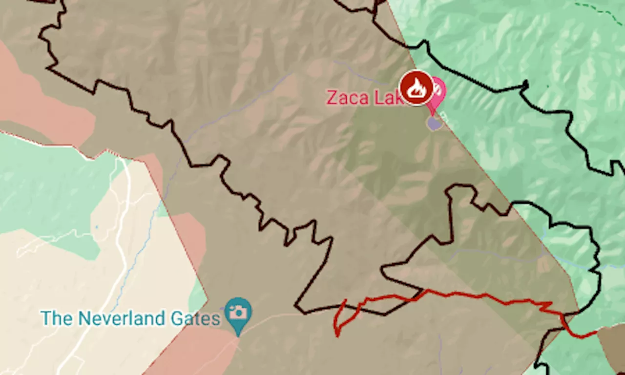 Map: Lake Fire in Santa Barbara County grows to biggest of the wildfire seasonSo far this year, the state has had six wildfires over 10,000 acres. Last year at this time, its biggest fire was 1,560 acres.
Read more »
 Wildfire smoke expected to blanket southern Utah cities TuesdayScott McKane is a long-time reporter with FOX 13.
Read more »