This enormous chunk of submerged continental crust sits between Antarctica and Australia, where it connected the landmasses as part of a supercontinent some 300 million years ago.
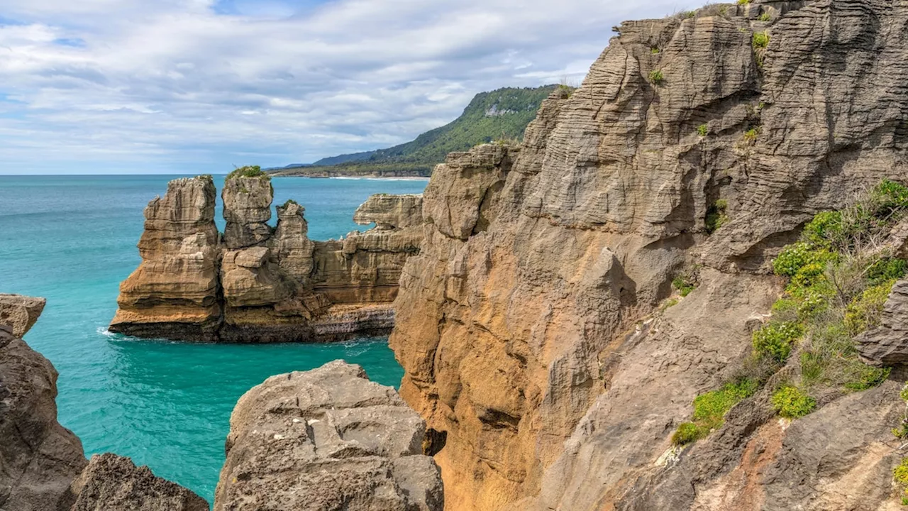
Pancake Rocks on the west coast of the South Island of New Zealand. The island country is the tip of a vast, submerged continent called Zealandia—and scientists have finished mapping the whole thing. Please be respectful of copyright. Unauthorized use is prohibited.
Now that scientists have charted the boundaries of this hidden chunk of Earth’s crust, they can begin to reveal how and why it formed in the first place—questions that have implications far beyond the continent’s borders.During a video call, Mortimer holds up a fist-size, splotchy, gray rock—a granite pulled from the team’s 2016 voyage to the northern portion of Zealandia.
The magma in the Zealandia granites tended to date to around 100 million years ago—a time that aligns with the breakup of the previous supercontinent.Imagine poking holes in a cloth and throwing it over a statue. The holes would reveal bits of information about the statue, similar to the samples taken of Zealandia, but they could only tell you so much.
Just as the fabric over the statue would give you a general sense of the shape, these magnetic maps provided a sense of Zealandia. Around 300 to 250 million years ago, the supercontinent was Pangea, made up of two smaller parts: the southern chunk, Gondwana, and the northern piece, Laurasia. By 200 million years ago, each of those chunks began moving away from each other.
Then the area started to cool down, and what is now Zealandia became denser and sank into the ocean, almost totally submerged by about 25 million years ago, says Mortimer. Today, only five percent of the total continent pokes above water—the islands of New Zealand, New Caledonia, and a few islands of Australia.