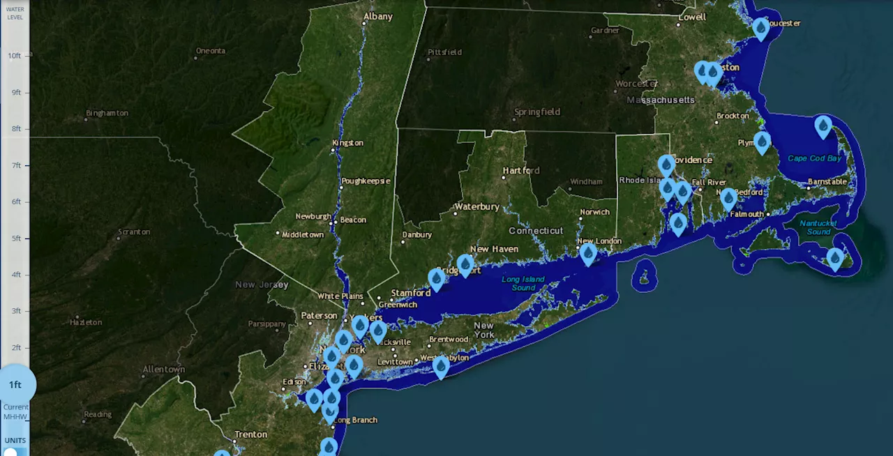
Projections show that rising sea levels could encroach on several areas of the state.
An interactive map shows how Connecticut may be affected by sea level rise as climate change worsens.The projections by the National Oceanic and Atmospheric Administration are incorporated in a national map showing that rising sea levels could encroach on several areas of the state. The map allows the viewer to see how different parts of the U.S., as well as individual states, may be affected if sea levels rise by different amounts up to 10 feet.
A report from the National Oceanic and Atmospheric Administration said the United States is expected to experience as much sea level rise in the next 30 years as it did over the entire past century. This projection indicates that Connecticut's shoreline could see an additional 8 to 10 inches of sea level rise by 2050, with the worst-case scenario predicting up to 15 inches.High-tide flooding is already a concern in coastal Connecticut cities like New London and Bridgeport.
United States Latest News, United States Headlines
Similar News:You can also read news stories similar to this one that we have collected from other news sources.
 Parts of I-95 in Connecticut remain closed | See alert map, alternate routesParts of I-95 in Norwalk will stay closed until at least Monday drivers can expect continuous delays for the Friday morning commute. Check the alternate routes, live map here.
Read more »
 Gnuastro: Simulating The Exposure Map of a Pointing Pattern - Simulating the Exposure MapOptimizing astronomical observation strategies with Gnuastro 0.21's new pointing simulation tool and improving exposure mapping accuracy.
Read more »
 New Jersey Map Shows Where State Could Be Underwater From Sea Level Rise A new interactive map shows how rising sea levels threaten New Jersey's coastline.
Read more »
 Virginia Map Shows Where State Could Be Underwater From Sea Level Rise The Virginia Beach and the Hampton Roads region are experiencing the highest rate of sea level rise on the Atlantic coast.
Read more »
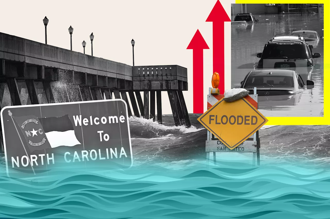 North Carolina Map Shows Where State Could Be Underwater From Sea Level Rise An interactive map shows which parts of North Carolina might be submerged by rising sea levels, with its barrier islands and long coastline at risk.
Read more »
 Video shows moment suspect rams police cruiser in ConnecticutThe Office of the Inspector General has released videos of what happened at an auto body shop in East Hartford on Sunday afternoon. Officials said two officers…
Read more »