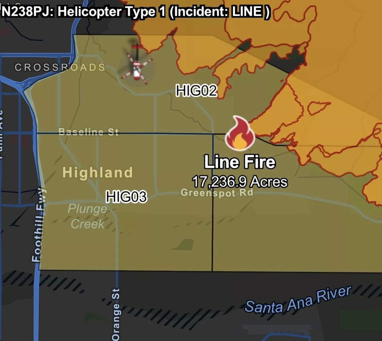
The fast-growing wildfire in San Bernadino County the south of the state is threatening communities, prompting the governor's declaration.
A new map released by the California Department of Forestry and Fire Protection shows a rapidly expanding Line Fire stretching across San Bernardino County, threatening thousands of homes and critical infrastructure.The fast-growing wildfire in Southern California has prompted Governor Gavin Newsom to declare a state of emergency as authorities rush to contain the blaze.
Frontline Wildfire Defense also issued a map showing the vast expanse of areas affected by the latest fires.The fire map shows a dangerously wide perimeter, with the blaze creeping closer to populated areas.
United States Latest News, United States Headlines
Similar News:You can also read news stories similar to this one that we have collected from other news sources.
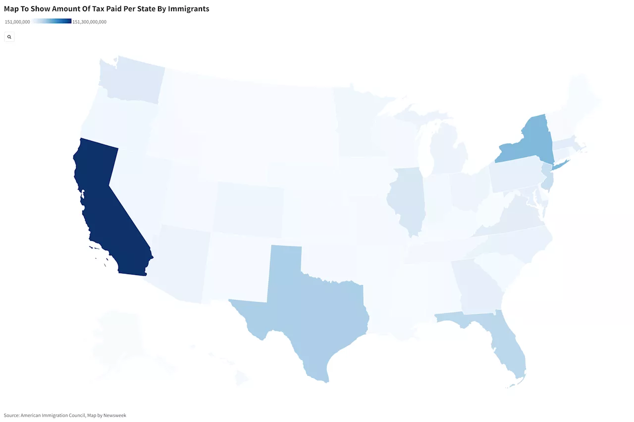 Map Shows How Much Immigrants Pay In Taxes In Every StateData from the American Immigration Council data showed how immigrants contributed to the economy in 2022.
Read more »
 Map: Tenaja Fire in Southern CaliforniaA wildfire near Lake Elsinore is causing evacuations and road closures.
Read more »
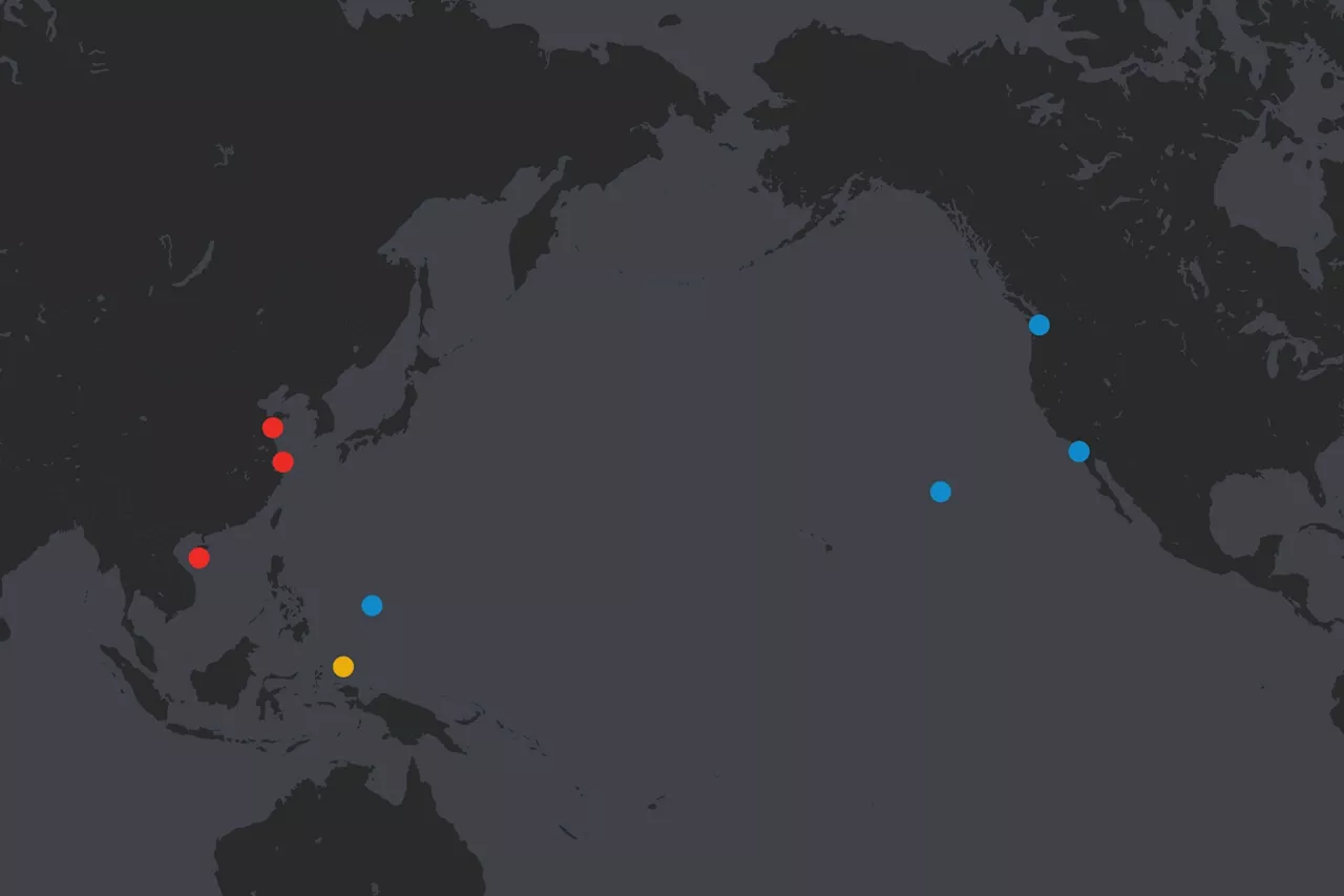 Map Shows U.S. and China's Aircraft Carriers in Pacific This WeekAnother U.S. aircraft carrier is leaving the Western Pacific Ocean.
Read more »
 Map Shows Cities With Highest Rates Of RobberyTen cities stand out in a recent report by the Council on Criminal Justice.
Read more »
 Kursk Map Shows Ukraine Advance Inside RussiaUkrainian forces now are in control of 212 square miles of Russian territory, according to one assessment.
Read more »
 Map Shows States Where People Smoke the Most CigarettesNewsweek has created a map to show the places in the U.S. with the most cigarette smokers.
Read more »