The 5.2 earthquake was felt as far away as Los Angeles, San Francisco, and Sacramento, and at least 49 aftershocks shook the epicenter area.
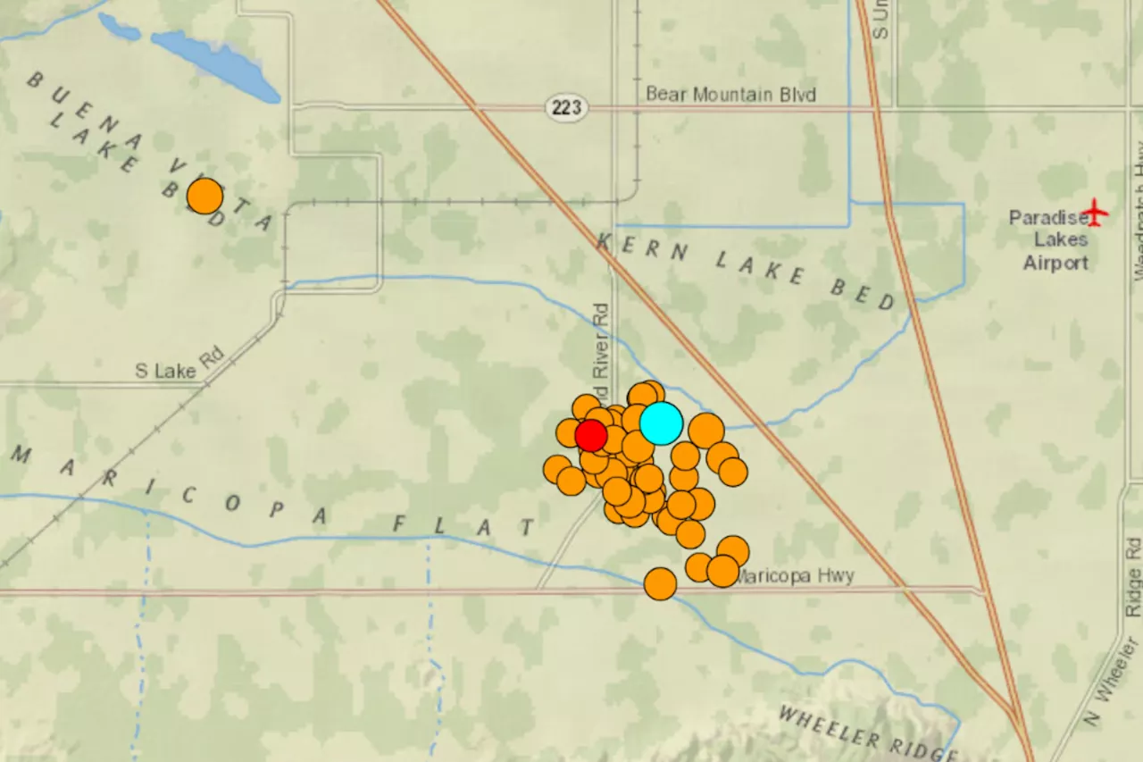
A magnitude 5.2 earthquake shook the ground near the town of Lamont, California, followed by numerous aftershocks.The earthquake struck at 9:09 p.m local time, and was felt as far away as Los Angeles, San Francisco, and Sacramento.U.S. Geological Survey data reveals the location of the epicenter in Kern County, 18 miles southeast of Bakersfield, and the locations of at least 49 subsequent aftershocks.
9 may cause noticeable shaking of indoor items, while magnitudes of 5.0 to 5.9, can cause damage to buildings and other structures. 6.0 to 6.9 magnitude quakes may cause a lot of damage in populated areas, while magnitudes of 7.0 or higher can cause serious damage across huge areas.The original earthquake was originally rated by the USGS as a magnitude 5.3, but was later downgraded to a 5.2.
United States Latest News, United States Headlines
Similar News:You can also read news stories similar to this one that we have collected from other news sources.
 California Fire Map, Update as Chico Park Fire Sparks Evacuation OrdersThe Chico Park Fire spans 6,465 acres.
Read more »
 California Map Shows Plan For Automated Rail SystemThe project plans to run automated trains on elevated tracks through the City of Inglewood in Los Angeles County.
Read more »
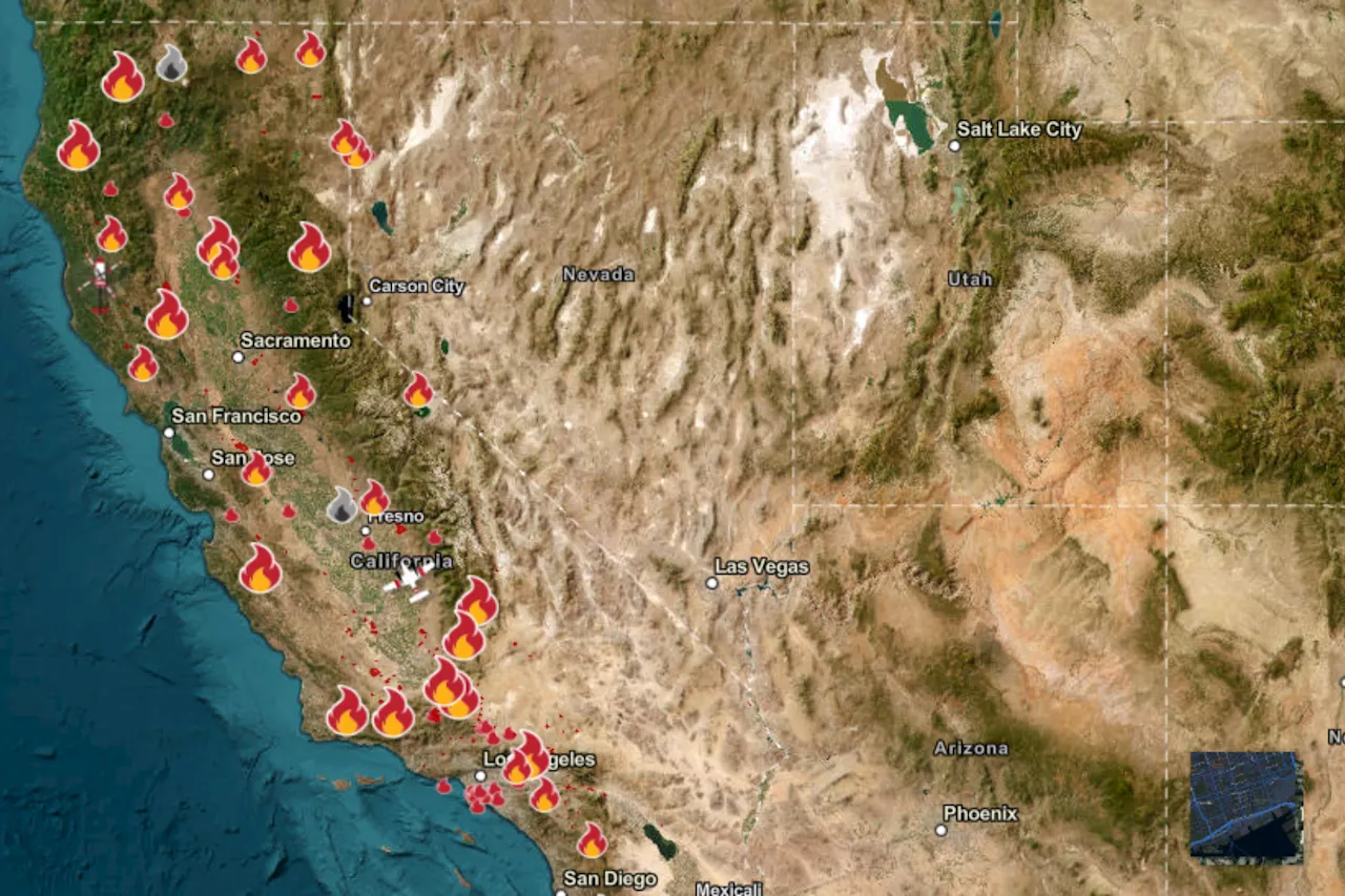
![]() Tracking California wildfires: Latest smoke map as Park Fire continues to rageThe Park Fire is the biggest wildfire in the nation right now.
Tracking California wildfires: Latest smoke map as Park Fire continues to rageThe Park Fire is the biggest wildfire in the nation right now.
Read more »
 Listeria in Deli Meats Update: Recalls, New Map, Hospitalization RiseThe expanding listeria outbreak has now reached Indiana, affecting 34 people across 13 states.
Read more »
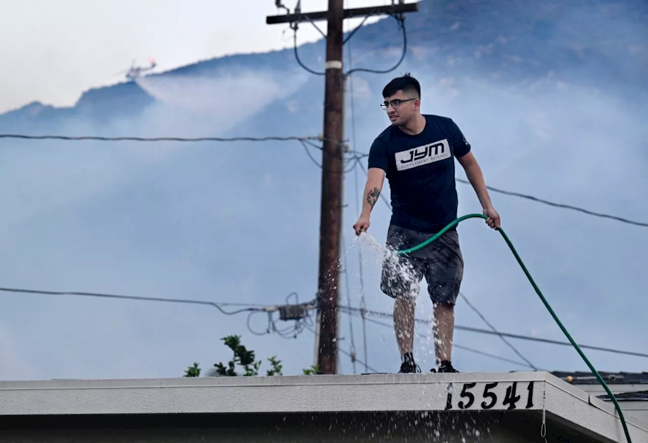
 MAP: See where Southern California's largest fires are burningThere are several active fires that have burned more than 1,000 acres in Southern California.
Read more »
 Map: Macy fire burning in Southern CaliforniaA fast-moving fire burning in the Lake Elsinore area has forced residents to evacuate Thursday.
Read more »