After temperatures plummeted as low as -7C overnight an Arctic blast is predicted to freeze the nation in the coming weeks with days of snow forecast.
The whole of the UK shivered in sub zero temperatures over the weekend and Wales recorded its coldest night of the winter.
The Met Office said the nation froze as the mercury dropped to -6C on Friday.
And then the temperatures dropped even further with more than -7C recorded over the weekend.
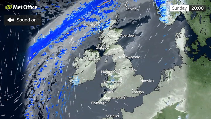
Now, the Met Office is warning of ‘severe frost’ and icy conditions for the start of the week on Monday with a deep freeze set to sweep across England and Wales.
And snow could fall in Scotland as well as parts of northern England from Thursday.
Long range predictions by the Met Office also state that snow might fall in northern regions from early February as the freezing temperatures continue.
Before then, on Monday, forecasters predict that in the south it will remain cold but with the promise of brighter intervals, with similar conditions in the north, Scotland and Northern Ireland.
For Tuesday and Wednesday there will be occasional rain in the northwest which will move south on Thursday, bringing potentially heavy showers.
The coldest weather will begin from Thursday onwards.
A spokesman for the Met Office said: "It will turn very briefly colder on Thursday and as conditions move south it will bring showers with it.
"Across England and Wales it will remain largely dry for the week, there will be more in the western areas of Scotland."
But forecasters said the chance of widespread snow this week was not expected, and flurries would largely stay on higher parts of Scotland.
UK Weather Forecast
Today:
Cold and cloudy but dry for most areas today. A few bright or sunny spells are likely in some areas, mainly eastern Scotland, northeast England and, perhaps, parts of Wales. Thicker cloud will bring northern Scotland rain at times.
Tonight:
Most areas remaining cold and cloudy tonight, cloud over parts of northern Scotland thick enough for some rain at times.
Tuesday:
Another cloudy day follows on Tuesday, cloud over northern Scotland thick enough for some rain, mainly later. Probably a few breaks in the east. Feeling cold.
Outlook for Wednesday to Friday:
Changeable; largely dry for most, any rain predominantly affecting western coasts and hills, especially the Highlands and Islands. Breezy, with risk of gales in the far north at times. Mild.