Brits are being warned to prepare for temperatures to plunge again over the next few days with icy -11C winds and up to five inches of snow.
Just days after the country was battered with gales, snow and rain in Storm Arwen, there is more extreme weather ahead with a cold blast bringing first snow for Scotland and then northern England on Thursday.
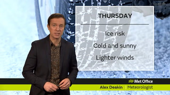
The Met Office has issued three yellow warnings for ice across the UK and a weather alert states that there is an 80% chance of severe cold and heavy snow between Wednesday and this Saturday.
It states to expect: "Some injuries from slips and falls on icy surface.
"Probably some icy patches on some untreated roads, pavements and cycle path. Some roads and railways likely to be affected by ice and perhaps snow, resulting in longer journey times."
Netweather charts for Thursday show that the temperature could hit lows of -8C in Scotland and -2C across northern England, the South East and Wales.
But the wind chill factor means that these temperatures of -2C will feel more like -11C.
It is set to be another bitterly cold night on Thursday with weather charts showing freezing blue patches for much of the country.
WXCharts maps suggest that there could be up to 5cm of snow in northern Scotland overnight on Wednesday and spreading across northern England on Thursday.
A Met Office spokesperson said: "It's going to be a lot colder today with showers turning wintry in the north.
"Patchy rain and snow will then affect some western and southern areas before more snow over the next few days. Only a few areas will be spared."
The snow is expected to remain over the coming days and over the weekend despite some slightly milder temperatures.
Netweather senior forecaster Jo Farrow, reported the Express, said: "It’s going to turn colder and there is a bit of snow in the forecast for the next few days.
"In the blustery flow over Britain, there will be further downpours with hail showers possible as the wind veers to the north.
"For the UK, a colder airflow follows. Digging down from the Arctic right through western Europe as the jetstream buckles.
"The low pressure shifts towards the Baltic Sea, the Azores high is in place and the cold northerly wind will bring some snow showers.
"By Thursday night a frontal system will be toppling in from the Atlantic with another low pressure for Saturday. It’s all quite active and mobile.
UK forecast for the next 5 days
Today:
Rain, sleet and some snow clearing from southwestern parts. Wintry showers affecting the north and east, slowly becoming confined to Norfolk this afternoon, with gales along North Sea coasts slowly easing. Mostly dry and sunny inland but feeling cold.
Tonight:
Rain reaching northwestern parts, preceded by some snow across Scotland, and moving southeastwards across most parts. Turning milder for most after a cold start.
Friday:
Outbreaks of rain and drizzle clearing southeastwards, though further rain likely in the southwest later. Brighter in the north with a few showers for northern and western Scotland. Feeling milder.
Outlook for Saturday to Monday:
Sunny spells and blustery showers with snow on hills this weekend, becoming confined to eastern areas on Sunday. Rain and perhaps some snow spreading east on Monday with showers following.