SUMMARY
This is AI generated summarization, which may have errors. For context, always refer to the full article.
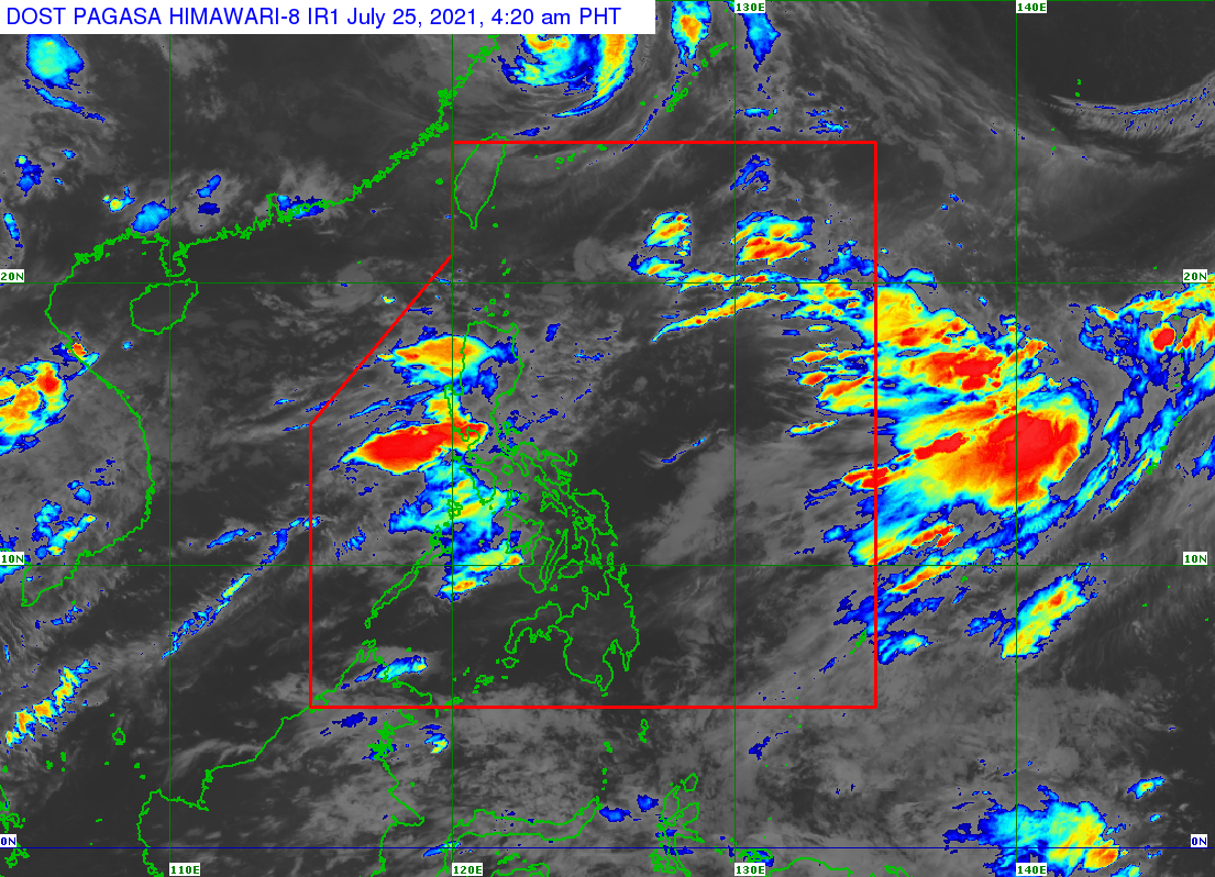
The southwest monsoon or hanging habagat was again bringing intense rain to parts of Luzon, including some areas in Metro Manila, in the early hours of Sunday, July 25.
In a thunderstorm advisory at 4:15 am, the Philippine Atmospheric, Geophysical, and Astronomical Services Administration (PAGASA) warned that heavy to intense rain showers with lightning and strong winds were being experienced in these areas:
- Metro Manila (Caloocan City, Malabon City, Navotas City, Valenzuela City, Quezon City, Marikina City)
- Rizal (Rodriguez, San Mateo)
- Bulacan (San Jose del Monte City, Meycauayan City, Obando, Bulacan, Paombong, Hagonoy)
- Pampanga (Macabebe, Masantol)
The Marikina River was again placed under the first alarm at 3:35 am, as the water level rose to 15 meters. As of 9 am, it was at 15.5 meters.
In its separate daily weather bulletin, PAGASA said the southwest monsoon is affecting the entire country on Sunday. It could trigger more floods and landslides during periods of heavy rain or severe thunderstorms.
Here is the rainfall forecast for Sunday:
Monsoon rain
- Metro Manila
- Ilocos Region
- Abra
- Benguet
- Zambales
- Bataan
- Pampanga
- Bulacan
- Cavite
- Batangas
- Occidental Mindoro
- Calamian Islands
Scattered rain showers and thunderstorms
- rest of Cordillera Administrative Region
- rest of Central Luzon
- rest of Calabarzon
- rest of Mimaropa
- Cagayan Valley
- Antique
Isolated rain showers or thunderstorms
- rest of the Philippines
PAGASA also continues to monitor Tropical Storm Nepartak, located outside the Philippine Area of Responsibility (PAR).
Nepartak was last spotted 2,960 kilometers east northeast of extreme Northern Luzon, moving northwest at 15 kilometers per hour (km/h).
It has maximum sustained winds of 65 km/h and gustiness of up to 80 km/h.
The state weather bureau said Nepartak is unlikely to enter PAR. (READ: FAST FACTS: Tropical cyclones, rainfall advisories)
The Philippines has had six tropical cyclones in 2021, with the latest being Typhoon Fabian (In-fa), which did not make landfall but enhanced the southwest monsoon throughout the past week. Fabian was also the second tropical cyclone for July.
An average of 20 tropical cyclones form within or enter PAR each year. (READ: LIST: PAGASA’s names for tropical cyclones in 2021)
These are PAGASA’s latest available estimates per month:
2021
- July – 1 to 3
- August – 2 or 3
- September – 2 or 3
- October – 2 or 3
- November – 2 or 3
- December – 1 or 2
2022
- January – 0 or 1
The rainy season has been underway since early June. – Rappler.com
Add a comment
How does this make you feel?


There are no comments yet. Add your comment to start the conversation.